TOTAL EXPENDITURE : Rs 20,000 – 22,000 (Per Head).
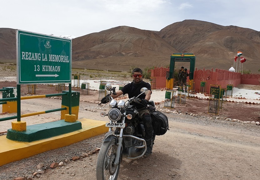
HIGHLIGHTS OF TRIP : 1. Cover both ‘famous’ high altitude lakes on Manali-Leh route – Tso Kar & Tso Moriri. 2. Highest motorable passes existing (Umling La/Marsemik La) & reaching closest to China border (Demchok Village). 3. Complete stretch of Pangong in India from ‘reverse’ China border side. 4. Famous war memorial site of Rezang La. 5. Ride all the way to Marsemik La & then from Shyok Agham side to Nubra Valley. 6. End points of both Nubra valley circuits – Turtuk & Siachen Base. 7. Unconventional return route from Nubra valley via Wari La. 8. Batalik & Aryan villages along old Indus Valley road. 9. Picturesque Mushkoh valley stretch.
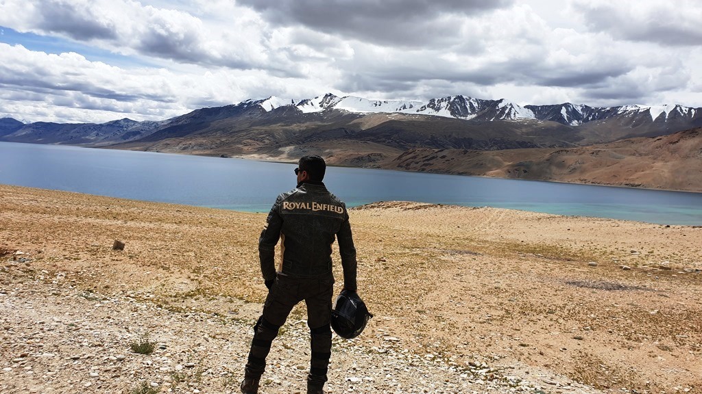
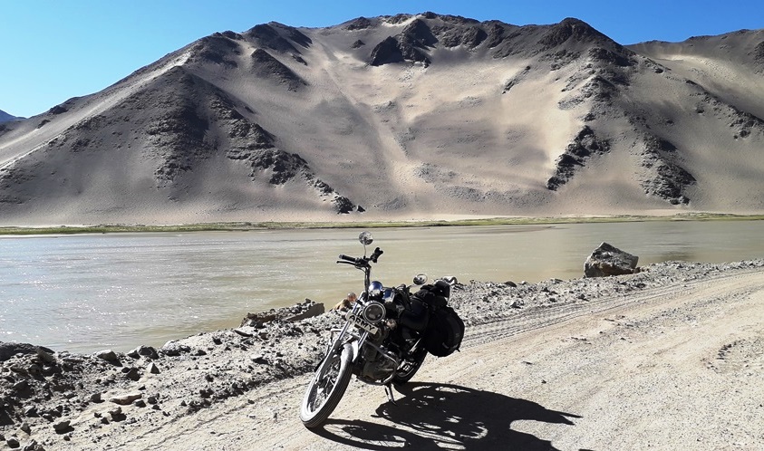
Ladakh is known for its unparalleled natural beauty which is pristine and ethereal, magical and timeless. Here the nature mesmerises you with its calmness and peace, the magical Himalayas makes it as one of the most sought after adventure destinations. It’s known for its stunning landscapes, high altitude lakes, and monasteries. It also happens to be a cold, harsh desert where temperatures remain below freezing for two-third part of the year.
This region has seen an increased influx of visitors in last 10-15 years and this number will keep on increasing by each year passing, especially now Ladakh being declared as Union Territory. A road trip to this ‘Heaven on Earth’ has become a kind of ritual for almost every ‘Road Tripper’ & ‘Biker’ with “Run of the Mills” Ladakh road trips being conducted by almost every alternate tour operator in North India – offering the achievement of ‘Been There Done That’ feeling to each traveller.
I can now call myself a ‘Ladakh-fanatic’, being already made four trips to this extremely picturesque locale, and yet this region keeps offering more & more to me in terms of terrain, adventure, people & culture. So, this time I once again wanted to stretch the limits of exploring this mesmerising jewel of India, this time I wanted to touch those locations & traverse those routes which have rarely been imagined by the conventional visitor, and this time I wanted to unravel those areas which do not figure in any kind of tour operator’s itinerary or in any travel magazine. Hence, the birth of this ‘Unconventional Ladakh Road Trip’ happened – first in my head, then on paper & finally on ground.
Firstly, let me clarify that the route which was touted as one of the toughest & most adventurous till few years back for any drive/ride is no longer the case now. So, if any Road Tripper or Biker is looking for an adventurous route in heading to Leh (either via Manali or Srinagar), please look elsewhere, because these two routes (Manali-Leh & Srinagar-Leh) are now throughout like Expressways. These two circuits are well-laid out newly resurfaced Black-Top roads all along which can be even done on a 90cc Scooty or 650cc Tata Nano very easily, the only challenge remains in terms of unpredictability in weather & varying altitudes
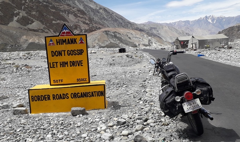
There’s been a very famous anecdote about Bullet motorcycles related to Ladakh road trips – “If your Bullet has not done Leh Trip, it’s still a Virgin !!!” I would only like to make a small statement on this – “If your Bullet (or any other Bike) has only done conventional Leh road trip (with the usuals such as Khardung La or Chang La or Pangong thrown in) in present scenario, it’s just Foreplay you’ve done, Bike’s still a Virgin !!!” So, having said that, I decided to go beyond the conventional & do the ‘Unconventional’ Ladakh road trip – touch some ‘untouched’ parts, explore some ‘unexplored’ areas, on a road not ‘lesser’ travelled, but ‘rarely’ travelled. This formed the basis of a two week long absolutely ‘non-touristy’ hard-core road trip, covering more than 3000 kms in total & traversing through highly rugged but most picturesque terrain of Ladakh region. In this blog, I am covering few very important aspects of all possible circuits in the entire Ladakh & Kashmir regions – suitably dividing them into cardinal sectors and further into sub-sectors. Various aspects covered in each of these sub-sectors are purely in terms of road trip through these circuits and will be useful as a ‘Ready Reckoner’ for anybody planning road trip in this region.
Manali to Rohtang: Majority good road except for 1–2 bad stretches. Can expect 1–2 road blocks and delays.
Rohtang to Gramphu: Extremely bad and broken stretch of 8–10 kms. Avoid during heavy rains with long stretches of heavy slush.
Gramphu to Keylong has very good BT road without any problems.
Keylong to Patseo is a decently good road. Few streams enroute – 1–2 major ones, and Darcha bridge is under construction.
Patseo to Baralach La has newly resurfaced BT road in good condition, but with steep ascent.
Baralach La to Sarchu: Descent from Baralach La is bad and treacherous with a few tricky nallas/streams to cross. Bharatpur and 15–20 kms beyond that is a bad stretch.
Last 15 odd kms to Sarchu is good and very picturesque.
(d)
Driving/Riding Time
9–10 hours
(e)
Average Speed
30 kmph
(f)
Highest Altitudes
4,900 m (Baralach La) & 4,300 m (Sarchu)
(g)
Highlights
Two high altitude passes – Rohtang & Baralach La
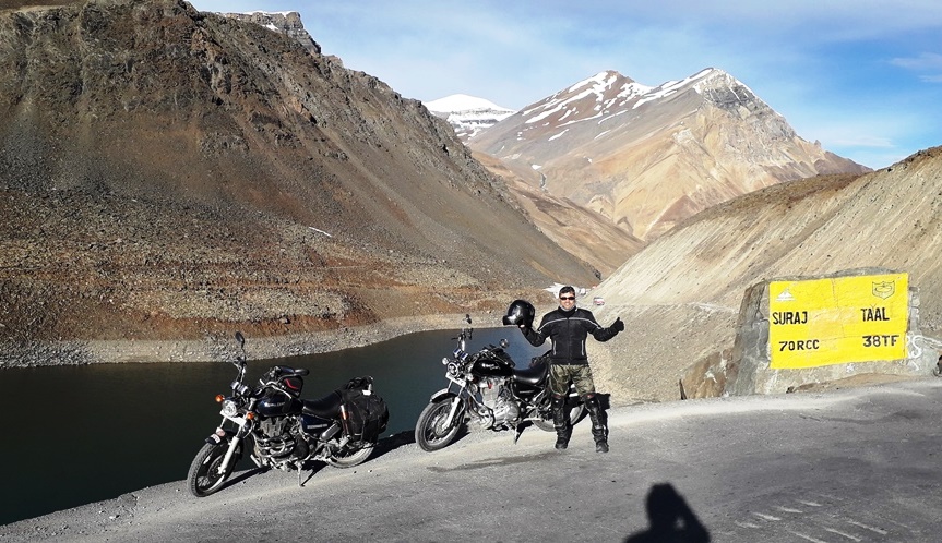
Two high altitude lakes – Deepak Tal & Suraj Tal
Vast cultivation stretch of Sissu
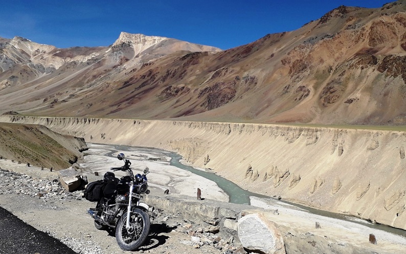
Picturesque Sarchu river-canyon valley
(h)
Difficult Patches
Manali to Rohtang stretch: One minor road block near Marhi with rubble and slush.
Rohtang to Gramphu: 8–10 kms of very bad and broken stretch.
Baralach La to Bharatpur: Treacherous descent and Bharatpur Nala difficult to negotiate.
(j)
Halts/Food
Gramphu Dhaba for breakfast
Keylong / Jispa – alternate options
Bharatpur Dhabas for lunch
Sarchu Camps
(k)
Support
Keylong – major town with medical and other facilities
Tandi is the last petrol pump on this route
Sarchu Army Transit Camp
(l)
Detours
Batal & Chandertal
Shinku La
Udaipur / Killar / Sach Pass
(m)
Stay Options
Jispa Camps by the River
Bharatpur Dhabas for basic stay (Emergency)
Sarchu Civil Camps & Army Transit Camp
(n)
Misc Info
Avoid staying overnight above 4000 m without acclimatisation.
Obtain Rohtang & other Himachal permits from DC Office Manali.
Leave Manali early to avoid traffic till Rohtang (Gulaba CP opens at 0600h).
CPs at Gulaba / Khoksar / Darcha / Sarchu – permits will be checked.
3. Sarchu – Upshi
(a)
Route
Sarchu – Gata Loops – Nakee La – Lachulung La – Pang – Morey Plains – Debring – Tanglang La – Rumtse – Upshi
(b)
Distance
Sarchu to Pang – 80 kms
Pang to Debring – 55 kms
Debring to Upshi – 75 kms
Total Distance – 210 kms
(c)
Road Conditions
Sarchu onwards road is good till Gata Loops.
Road condition of Gata Loops & Nakee La is decent but extremely steep.
Slight descent from Nakee La and ascent again to Lachulung La is bad and broken. Careful and deliberate drive/ride required.
Pang valley road is good – slight climb up to Morey Plains is also decent.
Morey Plains is newly resurfaced and very good BT road for 40 kms till Debring. Be extremely careful about bumps and causeways in-between – bike skidding is highly possible.
Steep ascent post Debring to Tanglang La and all the way down to Rumtse; road condition is quite good.
Rumtse to Upshi is along the Indus River and all good road in plains.
(d)
Driving/Riding Time
9–10 hours
(e)
Average Speed
30–35 kmph
(f)
Highest Altitudes
5,100 m (Lachulung La) & 5,300 m (Tanglang La)
(g)
Highlights
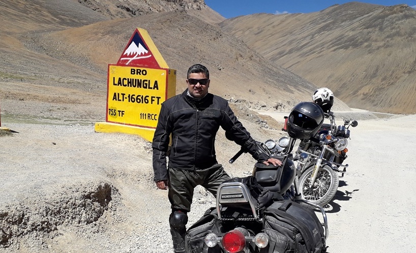
Three high altitude passes – Nakee La, Lachulung La & Tanglang La
Gata Loops – hair-raising 21 hair-pin bends
Morey Plains & plenty of off-roading opportunities (Recommended to be avoided)
Beautiful Pang valley
(h)
Difficult Patches
7–8 kms stretch on both sides of Lachulung La is totally stones and dusty.
(j)
Halts/Food
Few Dhabas post Nakee La for breakfast
Pang / Debring Dhabas for lunch
Rumtse village
(k)
Support
Sarchu Army Transit Camp
Pang / Debring / Rumtse – very limited, only emergency support
(l)
Detours
Tso Kar & Tso Moriri Lake circuit
(m)
Stay Options
Sarchu Civil Camps & Army Transit Camp
Pang & Debring Dhabas (Emergency)
Upshi village & limited Army accommodation
(n)
Misc Info
Avoid staying overnight above 4000 m without acclimatisation.
Morey Plains is very vulnerable to accidents – drive carefully.
Avoid off-roading – it is not only unsafe for your own safety but also spoils the natural habitat as well as flora and fauna of the place.
CPs at Sarchu / Pang / Upshi – permits will be checked.
Debring to Tso Kar via Thukje village is a narrow, broken BT road.
Ahead of Tso Kar, the road is completely broken and in bad state.
Totally barren stretch all the way to Sumdo via Puga. Very few good patches of road in-between – it is a completely broken dirt track.
Decent road ahead of Sumdo towards Tso Moriri, with bad patches in-between.
Post Kyagar Tso, the last 10–15 kms stretch is totally on stones and dust till Karzok.
On return, Sumdo to Mahe is a decent road; post Mahe, widening work is on till Nyoma.
(d)
Driving/Riding Time
9–10 hours
(e)
Average Speed
25–30 kmph
(f)
Highest Altitudes
4,600 m (Tso Moriri)
(g)
Highlights
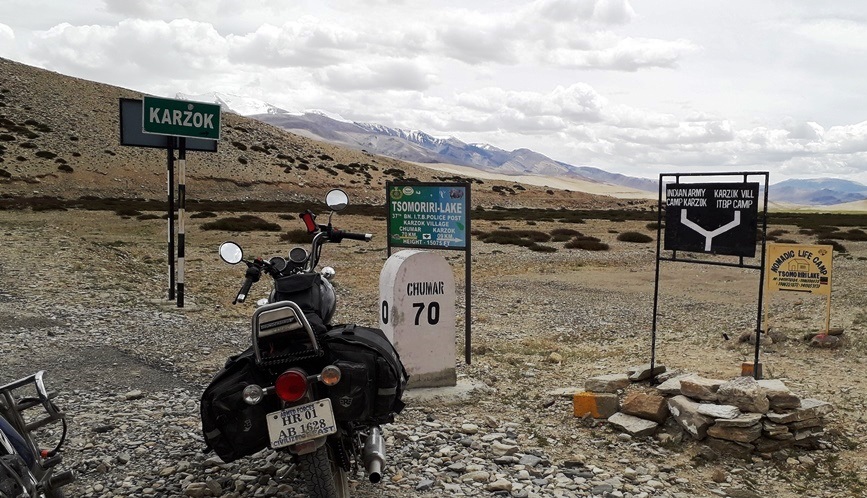
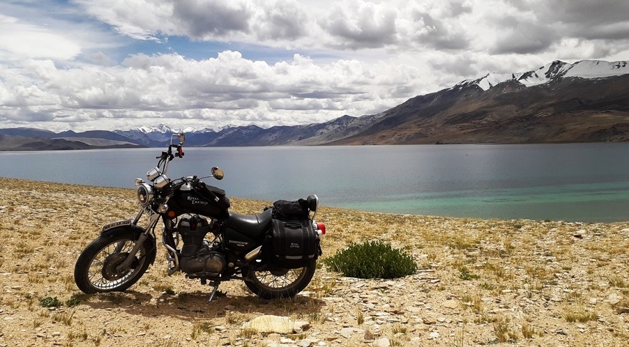
Three high altitude lakes – Tso Kar, Tso Moriri & Kyagar Tso
Absolute wilderness & barren stretches of South-Eastern Ladakh
Plenty of Ladakh wildlife on offer
Puga Hot Springs
(h)
Difficult Patches
Between Tso Kar & Puga, it’s all rubble and stones – may find 1–2 streams with broken culverts.
Few tricky ascents and descents either side of Puga village with many off-road tracks emerging. Careful with directions.
10–12 kms stretch from Kyagar Tso to Karzok is completely broken and is on stones, rubble and dust.
(j)
Halts/Food
Sumdo (Limited options)
(k)
Support
Small Army detachment at Sumdo
ITBP camp at Karzok
(l)
Detours
East bank of Tso Moriri & Chumar post
(m)
Stay Options
Tso Kar – Camps & huts
Tso Moriri – Camps & homestay
Nyoma Army accommodation
(n)
Misc Info
Avoid staying overnight above 4000 m without acclimatisation.
Tso Kar is almost dried up post September and should not be ventured into.
Explore the eastern bank road of Tso Moriri – excellent road condition and unmatched views of Tso Moriri.
Need ILP (issued from DC Office Leh) at Mahe CP for Nyoma.
5. Nyoma – Chushul – Pangong
(a)
Route
Nyoma – Loma – Tsaga – Rezang La – Chushul – Merak/Man – Spangmik – Pangong Tso
(b)
Distance
Nyoma to Tsaga – 55 kms
Tsaga to Chushul – 35 kms
Chushul to Spangmik / Pangong – 55 kms
Total Distance – 145 kms
(c)
Road Conditions
Nyoma to Loma stretch is main road, but road widening work has made conditions bad.
Good narrow BT road ahead of Loma all the way till Tsaga / Tara Post CP.
Post Tsaga village, road condition deteriorates and broken / dirt track starts post Tsaga La.
Tsaga to Chushul – the road is totally broken and bad with few difficult water crossings.
Chushul onwards till touching Pangong Tso, no proper road exists – drive / ride through river bed with stones & soft white sand. New BT road under construction.
Road along Pangong via Merak / Man / Spangmik villages is mostly non-existent and muddy / slushy with stones and rubble.
Ahead of Spangmik, road becomes better till Lukung (Main Pangong Tso end).
(d)
Driving/Riding Time
7–8 hours
(e)
Average Speed
25–30 kmph
(f)
Highest Altitudes
4,700 m (Tsaga La) & 4,300 m (Pangong Tso)
(g)
Highlights
Circuit closest to Chinese border (Few Border Outposts can be visited)
Absolute wilderness & barren stretches of Eastern Ladakh
Plenty of Ladakh wildlife on offer
Arguably the most picturesque part of entire Ladakh
Drive / ride along almost complete stretch of Pangong Tso lake on Indian side
(h)
Difficult Patches
Parts of road submerged under Indus river water short of Loma.
Either side of Tsaga La is broken & barren – difficult descent post pass.
2–3 extremely difficult & deep stream crossings between Tsaga & Chushul.
Chushul to Pangong & along Pangong – no specific route exists. Traverse through river beds & lake back waters.
(j)
Halts/Food
Chushul (Limited options)
(k)
Support
Small Army dets at Tsaga & Chushul
(l)
Detours
Hanle & Umling La (Officially Highest Motorable route)
Last border outpost on Indo-China border – Demchok (With Special permission)
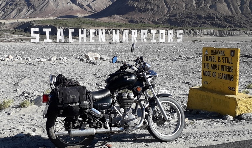
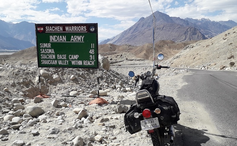
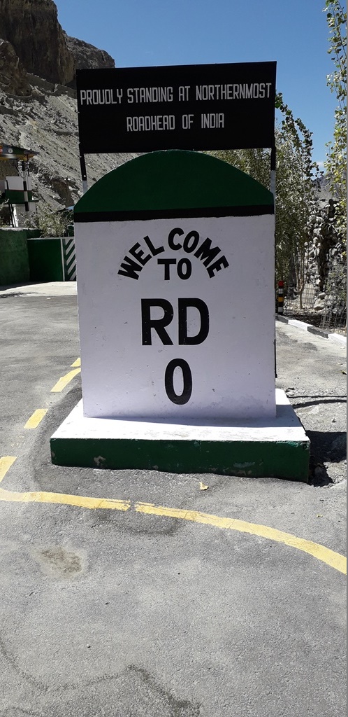
Two Northernmost road-heads of the country – Siachen Base & RD ‘0’
Two extremely beautiful river valley routes (Along Nubra river & Shyok river)
Seabuckthorn plantations in plenty along Nubra river & Panamik Hot Springs
Picturesque Turtuk valley & Hunder Dunes + Camels
(h)
Difficult Patches
1-2 minor stream crossings & bad patch before Siachen Base Camp
Minor 2-3 kms bad stretch between Changmar & Chalunka on Turtuk axis
(j)
Halts/Food
Sumur / Panamik on Siachen axis
Turtuk / Garadi for Lunch on Turtuk axis
(k)
Support
Public Health Centres at Sumur / Panamik
Military stations / dets at Partapur / Changmar / Turtuk
(l)
Detours
Diskit Monastery & Tirit village
Sasoma – Murgo route towards DBO (Not through as of now)
(m)
Stay Options
Sumur & Diskit (Basic homestays & Camps)
Hunder (Plenty of Camps / Resorts)
Partapur / Hunder Army accommodation
Turtuk (Few Homestays available)
(n)
Misc Info
Start early morning if you want to cover both axes on same day.
Special permission from Army authorities – to visit both Siachen Base & RD ‘0’ (No bikes or mobiles allowed).
With normal ILP (from DC Office Leh) – visit upto Sasoma & Turtuk.
Look out for beautiful Eco Camps / Resorts & Homestays in Hunder (More touristy) and Sumur / Tigar villages (Off the beaten track).
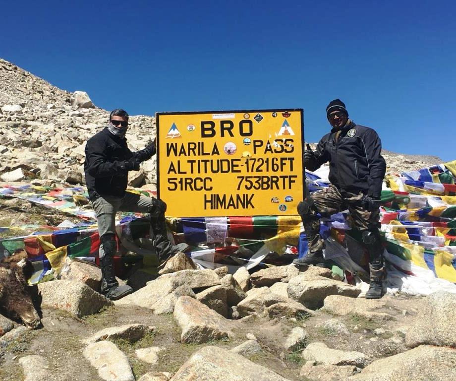
8. Nubra – Wari La – Leh
(a)
Route
Hunder – Diskit – Khalsar – Agham – Thangyar – Wari La – Sakti – Karu – Leh
(b)
Distance
Hunder to Agham – 60 kms
Agham to Sakti – 65 kms
Sakti to Leh – 50 kms
Total Distance – 175 kms
(c)
Road Conditions
Hunder to Agham via Khalsar is good BT road with few highs & lows.
From Agham, turn towards Wari La on internal Thangyar road – slightly broken, narrow & no traffic.
Post Thangyar, steep ascent towards Wari La (New resurfacing under progress).
8-10 kms either side of Wari La, the road is totally broken with extremely steep ascent/descent.
Further descent (post initial 10 kms) from Wari La till Sakti is decent BT road.
Sakti onwards, excellent wide roads till Leh.
(d)
Driving/Riding Time
6-7 hours
(e)
Average Speed
30 kmph
(f)
Highest Altitudes
5300 m (Wari La)
(g)
Highlights
Unconventional & Untouched axis between Nubra & Leh
Wari La is extremely beautiful & totally unexplored high altitude pass
Wild Yaks & Horses in abundance throughout the route
Shey Palace & Thiksey Monasteries enroute
(h)
Difficult Patches
About 10 kms both sides of Wari La is totally broken and have very steep ascent/descent along with snow/water on the road (Very careful & deliberate driving/riding).
Minor 2-3 kms bad stretch between Agham & Thangyar.
(j)
Halts/Food
Khalsar / Agham for B’fast
Sakti / Karu for Lunch
(k)
Support
Basic Army / civil support at Khalsar
Military station at Karu
(l)
Detours
Khardung La from Khalsar
Hemis Monastery & Chumathang hot springs
Choglamsar village
(m)
Stay Options
Karu (both Army & civil accomodation)
Leh town (Plenty of accomodation)
(n)
Misc Info
Extremely isolated stretch between Agham & Sakti – Cater for own spares/back up.
Clear off Wari La before noon – to avoid melted snow/water on the upper region – can get extremely tricky on the broken steep ascent/descent from the pass.
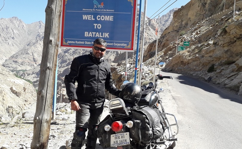
Leh to Khalsi & further to Khangral is excellent wide BT road. Main diversion for Batalik from Khalsi (Take this for Batalik in case want to skip Lamayuru & Fatu La).
Diversion at Khangral for Batalik (Khangral-Sanjak Link Road). Narrow road all along valley – broken at many places & through small Ladakhi-Muslim villages.
Join Leh-Batalik road (Indus Valley road) at Sanjak. Narrow mountainous decent road with few bad stretches in between.
Batalik to Kargil via Hamboting La is in bad condition for initial 30-35 kms, then good BT road till Kargil.
Kargil to Dras is excellent BT road (Take Kargil bye-pass road).
(d)
Driving/Riding Time
9-10 hours
(e)
Average Speed
40-45 kmph
(f)
Highest Altitudes
4200 m (Fatu La) & 4100 m (Hamboting La)
(g)
Highlights
Zanskar-Indus Sangam & River Rafting in Zanskar
Lamayuru / Alchi Monastery & Moonland
Indus Valley road & original Aryan villages of Dah / Garkone / Darchik
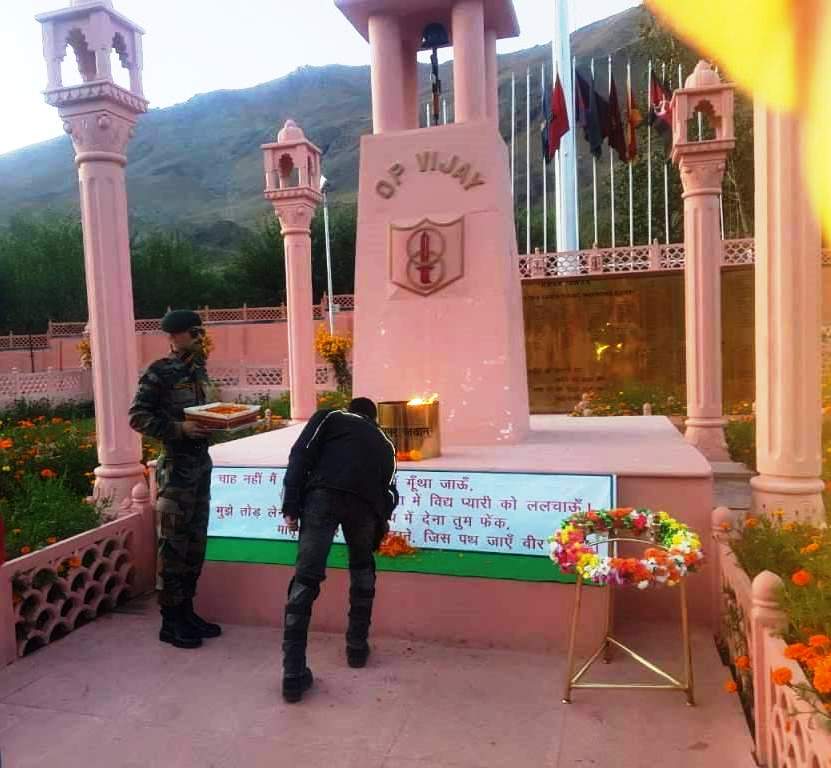
Batalik / Kargil / Dras sectors of Operation Vijay (Kargil War 1999) & Dras War Memorial
(h)
Difficult Patches
30 kms stretch from Khangral to Sanjak is bad & broken at places.
30-35 kms stretch after Batalik towards Kargil is bad with 10 kms ascent/descent on either side of Hamboting La is totally broken.
(j)
Halts/Food
Khalsi / Alchi for B’fast
Lamayuru & Khangral
Batalik / Kargil for Lunch
(k)
Support
Basic Army / civil support at Khalsi / Khangral
Army dets at Darchik / Batalik
Military stations at Kargil & Dras
(l)
Detours
Chilling along Zanskar valley
Likir & Alchi monasteries
Two detours to Aryan valley & Batalik
Kargil – Padum axis
(m)
Stay Options
Alchi & Lamayuru (Local homestays)
Batalik & Aryan villages (Emergency stay)
Kargil & Dras (both Army & civil accomodation)
(n)
Misc Info
Few ‘touristy’ options while leaving from Leh on this axis, such as Pathhar Sahab Gurudwara, river rafting, monasteries etc – Plan your move accordingly.
Consider internal Khangral-Sanjak route only if you want to see Lamayuru & Moonland, else take Batalik diversion from Khalsi.
Absolutely no support of any kind on Batalik-Kargil route – plan own spares & back-up.
Kargil War Memorial at Dras closes around 6PM, plan to reach in time for this ‘must-visit’.
Good & wide BT road from Dras to Zojila with minor bad stretches short of Zojila.
5-6 kms of bad & broken stretch immediately after crossing Zojila down till Baltal.
Good road further through picturesque Sonamarg valley.
Long isolated stretches of absolutely nothing enroute from Sonamarg to Srinagar (Due to post Article 370 removal scenario in J&K).
Srinagar to Qazigund is excellent 4-Lane road with divider, then road climbs upto Banihal still in good condition (Traffic increases).
Mountainous BT road in good condition continues till Ramban with heavy traffic.
Ramban to Udhampur is decent BT road with few bad/under construction stretches (Patnitop tunnel reduces the distance by almost 40-50 kms).
(d)
Driving/Riding Time
10-11 hours
(e)
Average Speed
40-45 kmph
(f)
Highest Altitudes
3600 m (Zoji La)
(g)
Highlights
Zoji La pass (Border between Ladakh & Kashmir) and picturesque Sonamarg valley.
Two ‘state-of-the-art’ tunnels of Banihal & Patnitop (3 more tunnels in making).
The ‘original’ paradise capital of Srinagar.
(h)
Difficult Patches
5-6 kms of broken & bad stretch post Zojila till descent to Baltal.
10-15 kms stretch prior to Udhampur is under widening and is full of dust.
(j)
Halts/Food
In Plenty throughout the route.
Sonamarg for B’fast.
Lunch at Srinagar / Qazigund (Look for Wazwaan places).
(k)
Support
Available through the route (Both medical & fuel)
(l)
Detours
Mushkoh Valley.
Baltal – Amarnath Yatra.
Gulmarg – Baramulla – Wular Lake.
Khrew / Dachigam National Park & Pahalgam Axis.
Kishtwar & Doda circuit.
(m)
Stay Options
Sonamarg (Lots of tourist camps/resorts/hotels).
Srinagar & Ramban (both Army & civil accomodation).
Udhampur (both Army & civil accomodation).
(n)
Misc Info
An extremely picturesque detour is towards Mushkoh Valley (In full flower bloom in the months of Jul & Aug).
BRO carries out maintenance of bad stretches in-between (spl between Zojila & Sonamarg) – Check timings before-hand to avoid delay/wait on road (Mostly 10-2).
Sonamarg has loads of adventure activities as well as treks.
If not staying/visiting Srinagar, it’s better to take complete bye-pass via Ganderbal & Sumbal to reach 4-lane highway of Qazigund (Be careful about protests though).
Carry own food/water for all day in case Srinagar & valley is shut down.

Gr8 to be part of this trip..
Well done Ashish
Wow!!! Such a nice post, it is very useful for Goa visitors. Keep updating.
Bike Rent in Manali
Bikes On Rent in Manali
Superb Blog Thanks For Sharing Such an Amazing Post.
Taj Mahal Tour From Delhi
Taj Mahal Luxury Tour
Golden Triangle Tour 3 Days
Same Day Agra Tour By Train
Thanx
We welcome the valuable information shared; it is very useful and informative. Bring it on, waiting for the next one!!!
Thank you!
Adventures Overland
Great write up if a great experience. Envy your travels. Thank you for sharing ☺️